remote sensing
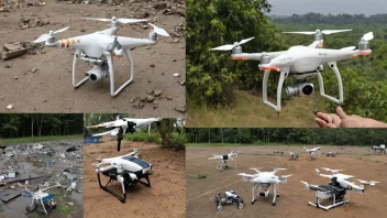
Remote sensing is the acquisition of information about an object or phenomenon without making physical contact, often through satellite or aerial sensor technologies. This technology plays a crucial role in various fields, including environmental monitoring, urban planning, and disaster response. By enabling the collection of geospatial data, remote sensing supports humanitarian efforts by providing critical information for health monitoring, climate change assessments, and poverty alleviation strategies. Join us in exploring how remote sensing can contribute to social justice and better decision-making for communities in need.
